So ... how do we settle the dilemma? Pay more attention to the actual weather and less to Computer Weather Models being at odds with Climate Models.
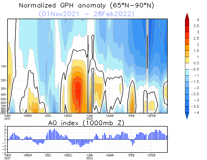
The Stratosphere is warming over the Arctic. That feature correlates very well with sending real cold southward. Therefore any model showing anything more than a temporary warm-up that transits warmth north to build blocks should be questioned. Below is the current cross-section of the polar vortex. The upper atmosphere warmth is full column.
 |
| The Arctic Stratosphere is warming. This event is highly correlated with mid-latitude cold. Image Source: NOAA Climate Prediction Center |
 |
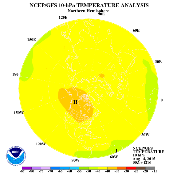
| If this projection verifies then the Eastern US is in trouble. Notice the warm area off the SE Coast, a stormy signal? Image Source: NOAA Climate Prediction Center. |
The question is whether we get some tropical forcing in the West Pacific and a jolt of energy to bring real winter into the Eastern US. I suggest watching Alaska. If that state trends warmer than it would suggest that High Pressure there will push the colder air SE. Another region to watch is Mexico, a persistent jet stream crossing that country from the Pacific would represent a lowering of pressure to draw the cold in and introduce more Winter Storm opportunities.
So, its time to go back to basics. Follow the satellite images and the overall weather to solve for downstream effects, While the Stratospheric warming event is not a perfect correlation to cold here in the SE US ... it is good enough to question weather models that would lead one to believe that winter is dead.
Here is a great New Year's Resolution: Follow actual weather more and models less ....
No comments:
Post a Comment