Thursday, December 16, 2010

Winter weather overspreads region

Good Morning;

A Winter Weather Advisory remains in effect for Central NC.  Winter Storm Warnings are posted for much of Central VA.  Radar indicates that a broad swath of precipitation has overspread the whole area.  Freezing rain is falling here in NC, snow will be soon hitting the ground in the Richmond area in VA.

RADAR image based in RDU shows moderate rain.
A comfortably warm jet stream blowing around 4500ft has transitioned the snow to sleet and freezing rain.  Ground surface temperatures are frozen to nearly 4" deep! Therefore rain will freeze on contact until the warm jet erodes the surface layer of arctic air enough to get the RDU area above freezing.

Central VA gets a winter wonderland of heavy snow ranging from 3-5" capped with ice. The warm front will not be able to proceed north enough to get them above freezing.

Once the system begins to clear it's effect as a veil between the present and Saturday evening's storm becomes more clear.  Right now the big question is going to be how close to the coast will the weekend system form?  That is somewhat dependent on where the coastal front left by the current system will be located.

Monday, December 13, 2010

The Tale of Two Winter Storms

We in the Raleigh, NC need to keep in mind that no matter how cold it is in December the climate simply does not favor snow.  In fact this morning's trace of snow at the airport set a snowfall record for today. 

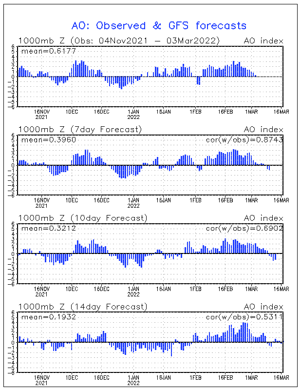
As much as MJO Phase 5 and a La Nina increasingly argue for warm it is amazing how the Arctic Oscillation is freezing the warm signals out by reaching pretty extreme negativity for the second December in a row.  This pattern does not bode well for hopes of extended  mild weather in January.  In fact, keep your coats and gloves available.  There is a glimmer of hope for at least a brief break in the form of upper stratospheric cooling over the North Pole.
Warming in Stratosphere over the North Pole send cold air south.
Source: NOAA Climatic Prediction Center
Thursday's Weak Winter Storm
 
There is a weak disturbance that is expected to pass near NC and VA on Thursday morning.  Currently model runs are trending toward a later arrival and further north path.  This would favor a light snowfall in Central VA and a mix to rain in the Raleigh, NC area. 

Small systems like the one on its way for Thursday tend to be moisture starved and small areal coverage.  No one should depend on those storms for dependable results!  Therefore children in school should complete all homework and be prepared for any tests or quizzes.

Potential for real Trouble Saturday-Sunday

Models seem to agree on the formation of an east coast storm system this weekend.  Amazingly enough on Dec 19, 2009 a similar system mostly rained on the Triangle (NC) but postponed my extended family Christmas party!  Could it happen again?

Keep in mind that this is Monday night and snow anytime here in NC is often an exercise in frustration as conditions need a level of perfection to bury us.  Below is a very entertaining GFS scenario that would cause a great deal of consternation in NC and VA.  My opinion so far is that this storm is targeting Central VA.
Low Pressure predicted by the GFS to be dumping pretty heavy precipitation Sunday morning
Source: Plymouth State Weather Center


Stay tuned as both storm systems develop or BUST!!!

Thursday, December 9, 2010

Cold to dominate weather pattern pre-Christmas

It is becoming clear that the global circulation is not ready to cooperate with surface La Nina conditions.  Typically the expectation would be that a cold start to December would give way to a warm subtropical ridge of high pressure and a retreating jet stream. The end result would be a December 20-31 similar to 2007.  The first hint that something was going "wrong" was accurate model predictions of a new high latitude Ridge formation over Western Europe which would then retrograde (move west) into the -NAO zone and effectively reload the dominant cold mechanism this month.

Is there an explanation for why the NAO would reload negative when warm North Atlantic temperatures and cold equatorial Pacific would not typically favor such a move after mid-December? Even though colder than average is expected why is our region near record territory and Great Britain and France in a deep freeze which is smashing records?  The answer is that that the global atmospheric circulation as defined by the Global Wind Oscillation is indicating a progression away from La Nina to a death spiral in neutral territory.
GWO has death spiraled into no man's land.
Source: Earth Science Research Laboratory

 Until a jolt of sorts comes to get the circulation moving we can expect a persistence in the weather pattern.  Therefore cold will reload for a few days around Dec 15 and then renew it's assault on the Eastern US and Western Europe.  By that time the major storm tracks will have shifted further SE and will significantly raise the probability of a rare White Christmas.

Will it ever warm-up?  I am watching northern Australia for the onset of the rainy season. The below satellite image could be used as an argument that the NAO should be positive and our region gearing up for a nice warmer than average weekend.  My suspicion is that even though MJO Phase 5 is moderately  indicated by thunderstorm activity NW of the continent the detail of High Pressure nosing its way in from the east is clouding the whole signal.


Watching for onset of rainy season in N Australia
Source: Univ of Wisc SSEC
MJO 5 has good correlation to Positive NOA and widespread warmth.
Source: NOAA Climatic Prediction Center

If the weather was simple then there would not be so many of us and billions of dollars in computers trying to figure it out.  I am concerned that my promises of long warm segments this season could be frozen out if sufficient snowcover combines with precipitation in the deep south to setup a situation that favors further persistence of the cold.

Monday, December 6, 2010

Can We even Dream of a Warm Christmas?

It is hard to think warm when I saw solid ice on a road in Durham at 1:30 PM today.  Winter's featuring La Nina often start off cold in the Eastern US and Western Europe but this season is definitely a bit extreme.  Great Britain and Ireland are covered in snow!  Recent Satellite photos would make one believe that the two islands used to moderate winters are in an Ice Age.

Great Britain and Ireland are reliving the Little Ice Age
Source: NOAA Earth Observatory
Portions of NC and VA enjoyed an early season snow this past weekend.  Deeper than expected cold allowed a relatively dry system to cover grassy areas with a coating to 2".  I had expected an early season snow by the end of November and was 4 days late.  The question now is whether this La Nina winter will actually behave like most of them and warm up for the holidays and much of January.

In my previous article I mention the potential monkey wrench to a warm Christmas being seen by computer models in the re-forming of a North Atlantic ridge of high pressure and movement into the -NAO region.  Unfortunately that is not off the table.

Out in the Pacific and Siberia models are forecasting weaker versions of the -EPO and -WPO.   The EPO is known as the East Pacific Oscillation.  It's negative phase features trough NE of Hawaii which ultimately leads to an Eastern US trough.  The WPO is the West Pacific Oscillation.  It's negative phase is freezing us right now with arctic air.  A -WPO is a bubble of high pressure in East Siberia which shoves Arctic air over the Pole into our hemisphere.  Here are the forecast values:
Even a weak -EPO is not a warm sign.
WPO is forcast to continue strongly negative.
Source: NOAA Earth Science Research Laboratory


Global Forecast System (GFS) Ensembles provide 12 possible outcomes for Dec 22 (Day 15).  None of them look particularly warm, some are pretty cold.  Could it warm up in the 3 days leading up to Christmas?  This year could feature my most difficult holiday forecast ever because of how small deviations in jet stream and storm tracks can mean big weather differences.

Saturday, December 4, 2010

Snowing in Central NC

Light Snow and some sleet will continue for the next several hours.  Expected accumulations on some grassy hours may make it to an inch.  Here is the 4:25PM Radar image provided by the National Weather Service:
The snow area is mostly NW of Johnston County, NC

Thursday, December 2, 2010

Numbing Cold Next Week, Potentially warm Christmas

Winter is strongly asserting itself as Arctic cold is poised to establish itself beginning with possible snowflakes during Saturday evening.  By Wednesday of next week highs will be in the 40-45 range with lows in the lower 20's.

The reason is a combination of the Negative NAO as evidenced by strong High Pressure near Greenland which blocks cold air displaced by it's cousin the AO (Arctic Oscillation) from progressing eastward therefore forcing it south into our region. 

The Negative North Atlantic Oscillation has been persistent.
It is deepening right now and should relax by mid-Month.
Source: NOAA Climate Prediction Center
The NAO normally goes positive in a typical La Nina season but should it make going negative a habit during this winter then there will be more cold and storms than expected.  This is something that needs to be watched closely. 

Computer models are showing the chilling cold pattern to be stable for more than 10 days.  This GFS Model illustrates the last gasp occurring around Dec 12.  By then the -NAO is gone (Could the Europe High pressure retrograde west for Christmas?).  Ridging moves in east of Hawaii correlating to east coast ridging (warmer) 3-5 days later.  The mechanism to send Arctic air over the Pole from Siberia is also forecast to be gone.   
The beginning of the end of the cold pattern.
Source: Plymouth State Weather Center
This is a case where the model fits the typical winter weather pattern.  If the timing is right then much warmer temperatures move in around Dec 15th.  Christmas and New Year have the potential to be very warm .... IF the European High Pressure does not find itself near Greenland (Negative NAO) by that time.

Typical La Nina Winter in our Area

The arrival of cold temperatures coincides well with a typical Central NC and VA La Nina winter.  Shorter wavelengths in the Jet Stream pattern allow features which normally would correlate well to warm to temporarily favor cold conditions.

Please forgive the terrible art work.  As winter deepens and waves of circulation broaden average temperatures rise above average resulting in long stretches of mild and dry weather,  Shortly after mid January a natural surge of Atmospheric Angular Momentum creates a condition which pushes the cold winter weather region into the east.  Once that bout of real winter is over then a thaw dominates until Valentines Day.
The best chance for a Winter Storm is shortly after Jan 15